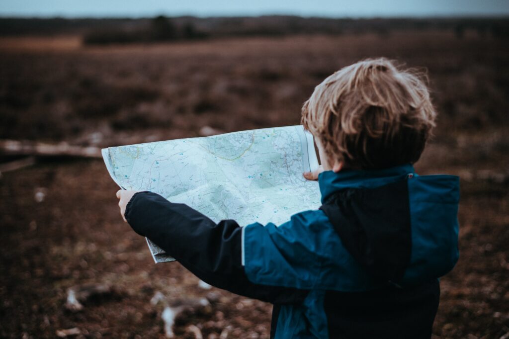
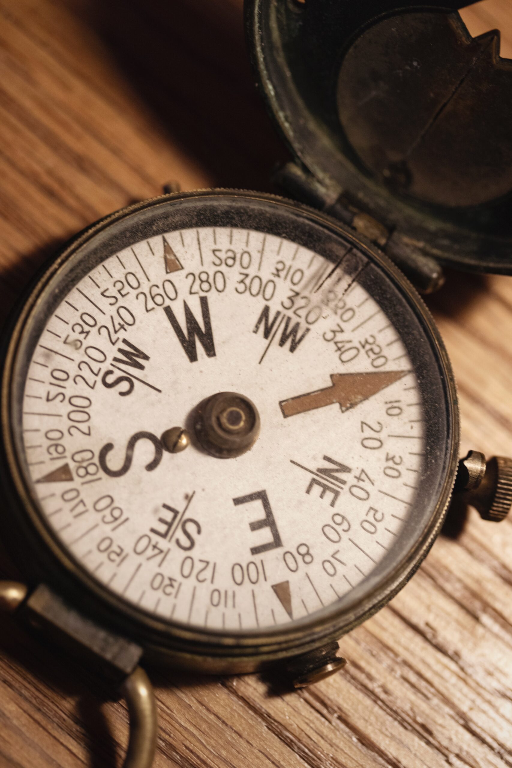
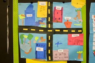
Students explore a variety of maps and discover that maps can tell us where we are and where we want to go. We will explore essential map features including a title, compass, scale, grid and key and how these can be used to help us better understand a map. Students are then challenged to create a map of their classroom, bedroom or imaginary destination using all key features.
In this program students will:
- explain what maps are and how they are used,
- identify mapping features and their purpose,
- create a map incorporating key features.
OUR REMOTE LESSONS ARE AVAILABLE TO RURAL VICTORIAN GOVERNMENT SCHOOLS ONLY

